Small apps, built for the trail and beyond.
Longdog Apps Inc. is Phil's one-person studio for iOS, watchOS, and macOS software — native, privacy-respecting, and built to be used outdoors, not just looked at.
What's shipping
One app live on the App Store today, two in beta, three more in active development, and two personal workbench projects Phil builds for himself.

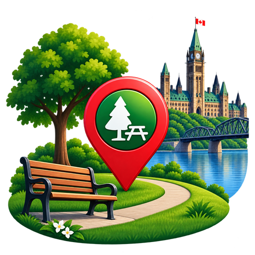
Ottawa Parks
Every City of Ottawa park mapped from open data — real boundaries, dog policy & accessibility.
View app details →
Radar
Live ADS-B aircraft tracking — a sweeping radar scope and a map view, color-coded by altitude.
View app details →
NOTAM Decoder
Raw ICAO NOTAM text, decoded into plain-English fields, enriched with open-source aviation data, and plotted on an interactive map.
View app details →
GEO Spatial Learning Platform
Hands-on development of location-aware iOS apps using MapKit, Mapbox, and Core Location to visualize, analyze, and interact with geospatial data
Complex Data Structures Learning Platform
Hands-on development of data-driven iOS apps using SwiftData, Core Data, and CloudKit to model, persist, and sync user data across Apple devices
Have an idea?
Longdog Apps Inc. is small by design — always open to hearing what's missing from your trail.
Get in touchBuilt by one developer, tested on real trails.
Longdog Apps Inc. is an independent studio building focused, native software for Apple platforms. Every feature starts as something actually needed on a hike — GPS accuracy in the backcountry, elevation data that means something, and a watch app that keeps up when a phone can't. No shortcuts, no tracking SDKs, no dark patterns — just software built the way a hiking app should be built.