Radar
Real aircraft, tracked live. A sweeping radar scope of everything flying nearby, or lock onto one aircraft and watch its altitude, speed, and heading update as it moves.
Every plane in the sky nearby.
Radar turns live air traffic data into something you'd actually watch, not just a table of callsigns.
Scanning Radar
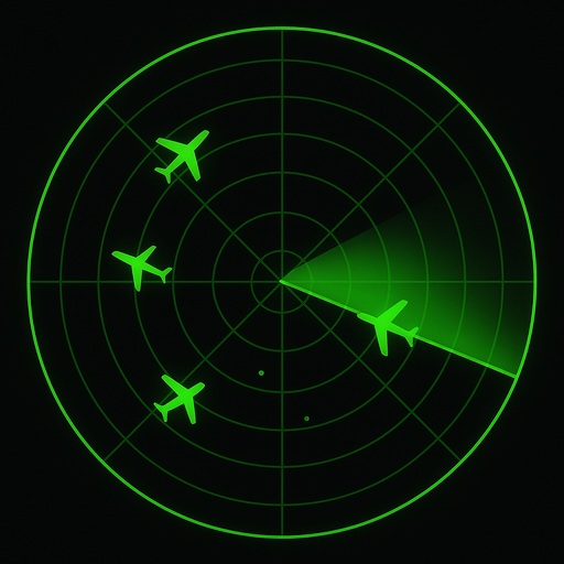
A classic sweeping radar scope centered on you, with nearby aircraft appearing as blips as the sweep passes over them.
Tracking Radar
Lock onto a single aircraft on a live map and follow it, with its flight path trailing behind as new positions come in.
Altitude-banded color
Every aircraft is colored by altitude — the same convention flight-tracking sites use — so a glance at the map tells you who's climbing, cruising, or on approach.
Cockpit-style instruments
An airspeed indicator, altimeter, and compass for the aircraft you're tracking, styled like the real gauges pilots read.
Identity at a glance
Callsign, registration, and the aircraft's 24-bit ICAO identifier are all shown right alongside its live position.
Adjustable range
Scan anywhere from 25 to 250 nautical miles around your location, so a quiet local airport or a busy hub both make sense.
Purple is ground level — taxiing, taking off, or on final approach. The band climbs through blue, green, yellow, and orange as altitude increases, through red for long-haul cruising altitudes, up to white for anything above 40,000 feet.
For situational awareness, not separation. Radar displays live ADS-B data from a public flight-tracking network. Coverage isn't complete — aircraft without ADS-B Out, or outside network coverage, won't appear — and positions can be a few seconds delayed. Radar is a hobbyist tracking tool, not an air-traffic or collision-avoidance system.